|
More rain forecast, flooding woes to continue |
|
March 19, 2017 |
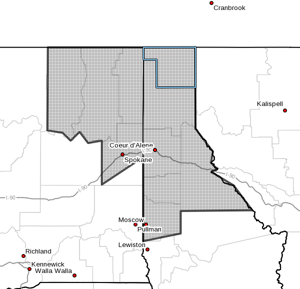 |
The National Weather Service has issued a new
flood warning for North Idaho and northeast
Washington, in effect until noon Wednesday and
in spite of drier weather forecast today and
Monday.
The recent rains and warmer temperatures will
continue to result in increased runoff, and with
water tables already elevated, flooding is
expected to persist. More rain is likely on
Tuesday and again on Friday, which will
exacerbate the problems. Forecasts include the
possibility of rain every day from Tuesday
through Tuesday of the following week.
In addition to areal flooding, conditions are
ripe for continued mudslide activity, and those
on hillsides at the top of or in the path of
potential slides should take steps to protect
their property and belongings and to be ready to
evacuate should the need arise. Be alert to
signs of slipping ground, such as trees
beginning to lean or shift and water or mud
seepage where not expected.
Motorists should continue to be alert to
washouts and should avoid driving through water
standing or running across roadways.
Area rivers and creeks are also expected to
continue to rise and many will reach or exceed
flood stage.
Sandbags are available for free during normal
business hours at Boundary County Road and
Bridge, 73 Sunrise Road just off Highway 95
south of Three Mile.
Local flooding issues should be reported to the
Boundary County Sheriff's Office, 267-3151, and
to report flooded or damaged roads, call road
and bridge at 267-3838. In the event of
emergency, call 911. |
|
Questions or comments about this
article?
Click here to e-mail! |
|
|
|
|